


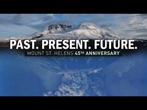
PORTLAND, Ore. (KATU) — 46 years ago today, Mount St. Helens erupted.
The massive eruption sent ash and steam skyward as the north face of the mountain collapsed, sliding into the North Fork Toutle River below.
The blast killed 57 people and covered 230 square miles. It permanently changed the landscape in the region.
Volcanologist David A. Johnston was perched high above a ridge directly north of the mountain.
At 8:31 a.m., he radioed “Vancouver, Vancouver, this is it!” as a 5.1 magnitude quake sent the northside sliding down, triggering the lateral blast.
It was the largest landslide in recorded history.
Last year, our producer Jessi Satin had an in-depth look back at the eruption and how it forever changed the landscape around the mountain.
Earthquakes began rumbling under the mountain in March 1980. The first eruption occurred on March 27.
“When the mountain started to awake on March 27, it was exciting in this area,” Mark Smith told KATU News. Smith’s family owned the “Spirit Lake Lodge” at Mount St. Helens.


“People didn’t really know what a volcano was,” Smith added. “We see them in Hawaii, and there’s something in a far-off land. But here, suddenly, one of our Cascade volcanoes, which we all thought were dormant, awoke.”
Smith’s family lodge was destroyed.


SEE MORE ARCHIVE FOOTAGE AND INTERVIEWS
Mount. St Helens also has the largest monitoring network in the Cascades, with more than 20 monitoring stations placed on and around the volcano.

According to the USGS, Mount St. Helens is the most active volcano in the lower 48 states and the most likely in the Cascades to erupt again.
Actual Eruption Not to be confused with the Rockin’ and Rollin’ Saturday Night Music edition from 8 months ago. Both equally destructive in their own respects.

